West Shore Levee Project picking up pace
Published 4:53 pm Saturday, June 3, 2023
|
Getting your Trinity Audio player ready...
|
LAPLACE — The West Shore Lake Pontchartrain Levee Project has picked up pace, with all remaining construction contracts for levee reaches projected to be awarded before the end of 2023.
During the May 31 stakeholder update, the U.S. Army Corps of Engineers shared a tentative delivery plan for the remaining contracts. The 17.5-mile levee alignment is divided into 13 reaches, each with its own construction contract.
Several contracts for prep work leading up to the levee construction have been completed, including construction of nine access roads connecting existing highways to the alignment, three sand/clay stockpile contracts, and two sand placement contracts that allowed for the creation of a 3-foot sand base.
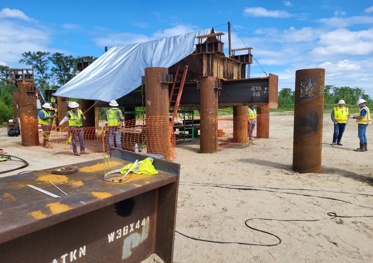
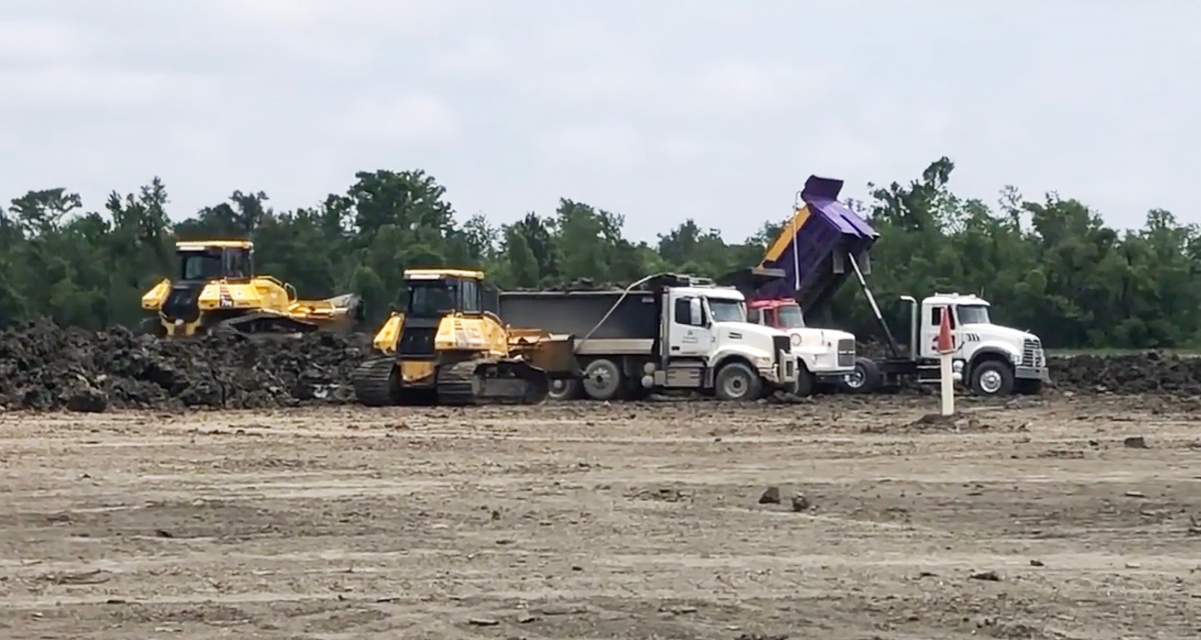
Clay stockpiling is still underway and averaging 2,000 cubic yards per day after being delayed by high water levels of the Mississippi River. Pile load testing is also underway near Highway 51.
Construction Updates
The first levee reach construction contract, WSLP-110, near Garyville, was awarded in December 2022. As of June 1, clearing, grubbing and burning is still underway in this reach. Reach 107, north of Reserve, was awarded on March 15. According to this week’s update, a culvert pipe is to be delivered this week, and clearing and grubbing will begin soon.
The most recent construction contract award took place at the end of April for reach 101a near the Bonnet Carre Spillway. A preconstruction meeting was held on May 31, with mobilization anticipated for June 26.
New Orleans District Commander Col. Cullen A. Jones said, “The award of this contract for the system’s easternmost and third highest elevation levee is an important milestone as we continue to gain momentum in the delivery of the WSLP program.”
Building upon the 3-foot sand base, the levee will reach heights of approximately 6 feet in 2024. By 2025, the various reaches will range from 6.6 feet to 12.5 feet. All gaps between flood gates, floodwalls, drainage structures and pump stations will be closed once the levee reaches its full height in 2026.
The tentative contract schedule for remaining levee reaches is listed below. Reaches are displayed in order from the easternmost end of the alignment near St. Charles Parish to the westernmost end near St. James Parish.
North of LaPlace
- WSLP 102, final height ~14 feet – 1 mile levee, 500 ft. floodwall, drainage structure; Q3 2023
- WSLP 103, final height ~14 feet – 1 mile levee, 500 ft. floodwall; Q4 2023
- WSLP 104, final height ~11.5 feet – 2.5 miles levee, 500 ft. floodwall, utility crossings; Q3 2023
- WSLP 105, final height ~11 feet – 3 miles levee, 500 ft. floodwall, drainage structure; Q4 2023
North of Reserve
- WSLP 106, final height ~11 feet – 0.75 mile levee, 500 ft. floodwall; Q3 2023
North of Garyville
- WSLP 108, final height ~8.5 feet – 1.3 miles levee, 500 ft. floodwall, drainage structure(s); Q3 2023
- WSLP 109, final height ~8.5 feet – 1 mile levee, 500 ft. floodwall, utility crossings; Q4 2023
West of Garyville
- WSLP 111 – Designed and constructed by Coastal Protection and Restoration Authority – 0.5 mile levee, highway ramp, utility crossings; Q3 2023
- WSLP 112– Designed and constructed by Coastal Protection and Restoration Authority – 1 mile levee, rail road gate, 500 ft. floodwall, utility crossings; Q3 2023
- WSLP 113 – Designed and constructed by Coastal Protection and Restoration Authority – 0.5 mile levee, rail road gate, 500 ft. floodwall; Q3 2023
- WSLP 114– Pump stations 2-2,000 cfs; Q4 2023
- WSLP 114a– Hope and Prescott Drainage Structures; Q2 2023
A 2-fold approach to drainage
St. John the Baptist Parish President Jaclyn Hotard recently met with Colonel Jones on drainage modeling. A follow-up meeting is planned for this month.
Hotard explained that the drainage issues in St. John Parish are two-fold and will require a comprehensive approach.
“We are also susceptible to rain events where we can get some isolated flooding. At the last council meeting, I moved forward with doing a comprehensive stormwater master plan so we can address this,” Hotard said. “Dewberry was selected because they are the engineer over the Louisiana Watershed for the region St. John falls in. A lot of the hydrology and modeling has been done already.”
According to Hotard, updates to the stormwater master plan could potentially result in updates to flood zones and lower flood insurance. Since rainwater is pumped into the swamp, the West Shore Levee will provide an extra layer of protection from rising lake levels pushing backflow into low-lying areas of the parish.
“One thing they did was plug in all of the flood prone areas of St. John and run a model of Hurricane Isaac with the levee in place, and no homes flooded,” Hotard said. “The Corps did the same thing with Hurricane Ida – it showed there would have been no storm surge flooding (with the levee in place.)”
Hotard challenged the public to dispel rumors that the levee is not being built and that money has run out. According to Hotard, the federal government is investing more than $1.2 billion into the West Shore project, which has expanded to encompass additional resiliency features for better protection.
For the past few years, much of the work surrounding the levee has involved stockpiling and land acquisitions behind the scene. Now that construction is moving forward, Hotard said residents can see the progress near the Reserve boat launch or while driving along the Interstate toward Baton Rouge.
For additional updates about the West Shore Levee project, visit https://www.mvn.usace.army.mil/About/Projects/BBA-2018/West-Shore-Lake-Pontchartrain. A copy of the most recent stakeholder update can be found on the St. John the Baptist Parish website at sjbparish.gov.


