St. John Parish students place in statewide GIS competition
Published 2:33 pm Monday, May 23, 2022
|
Getting your Trinity Audio player ready...
|
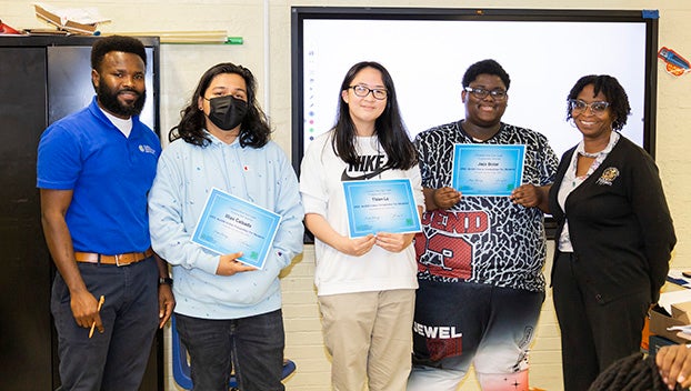
RESERVE — Three aerial engineering students at East St. John High School are moving forward to compete at a national level after their compelling Louisiana storymaps placed in the statewide ArcGIS Online School Competition.
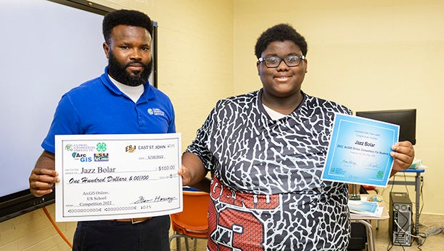
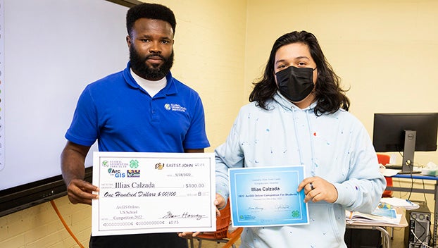
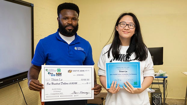
Thien Le, Jazz Bolar and Illias Calzada each received a $100 prize and a certificate of recognition from Moses Okonkwo, a representative of the Global Geospatial Institute. Awards were presented on May 19 at the Leon Godchaux campus.
Last year, the Global Geospatial Institute partnered with St. John the Baptist Parish Public Schools for the Jump Start Summers program, allowing students to earn an industry-based credential in geographic information systems. The partnership continued with a new set of students this school year as Okwondo taught students how to create storymaps using industry grade software from ESRI.
“I think it’s a beautiful skill. GIS is something that’s in high demand,” Okonkwo said. “It’s the science of location. You can apply this skill across multiple industries by creating a map of whatever interests you and sharing it with your audience.”
According to Okonkwo, students who were certified last summer got a firsthand look at how GIS is utilized by the St. John Parish Assessor’s Office to list and value property. Fire departments may also utilize GIS to keep tally of fire hydrants needing maintenance and view the geographic placement of emergency calls.
The GIS career pipeline also includes applications not limited to economic development, business, disaster management, epidemiology, real estate, political science, travel and tourism. There are even applications in media and press, where the technology can be used to convey information in an engaging and interactive format.
Le, Bolar, Calzada and other East St. John students created storymaps relating to Louisiana.
“Students can choose whatever interests them. The beautiful thing is being able to use location to create a story,” Okonkwo said. “We had one on the unique features of each Mardi Gras parade. Another student did a storymap on crawfish farms around the state, and one was about homeless shelters in New Orleans.”
The class also collaborated on a storymap telling the story of Hurricane Ida by juxtaposing before and after aerial images of wind damage and flooding. The storymap can be viewed here: https://storymaps.arcgis.com/stories/5b3b88d350744aef860e33871f5ccec4
Instructor Beverly Reed said the introduction to story maps tied in nicely with the aerial engineering curriculum. As students work toward becoming certified with drones, they can use GIS to apply imaging to maps.
Junior Tymia Singleton was among the students who participated in the Jump Start Summers program in 2021. She believes GIS can open opportunities for her future in nearly any field. One example of a real world application, according to Singleton, is an entrepreneur studying the geographic features and weather patterns of the area where they would like to open a business.
Okwonko said the Global Geospatial Institute can work with any student who wants to earn certifications in GIS, including students outside of the public school district.
“Most of the students who get certified have internships already. This can help pay for college,” he said.
For more information, contact the Global Geospatial Institute at 225-939-1091.


