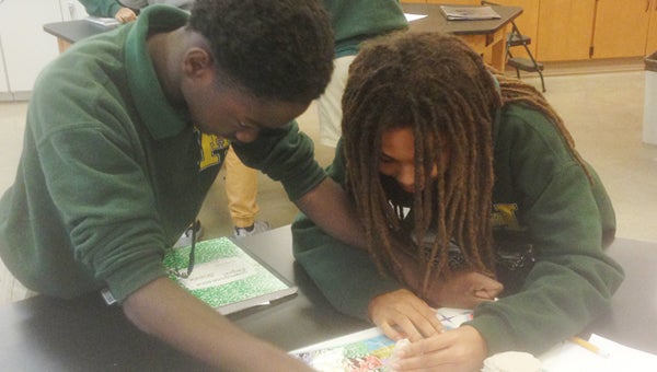
Students use science lab
Published 12:05 am Saturday, March 5, 2016
- Caleb Fortes and Kaitlyn Thompson
Harry Hurst Middle School eighth grade students recently practiced reading topographic maps by creating 3D elevation contour segments out of a clay landform.

A’Layjah Alexander and Jenevieve Bourgeois
Students measured one-centimeter contour intervals and used fishing line to slice through each.
They then traced each contour section on their paper to create a representation of their landform as a topographic map.